


Tanzania Safari Highlights
Useful Links
Visit the Authentic Tanzania Safaris Itineraries Page
Visit the Authentic Tanzania Safaris Photo Gallery
Read Authentic Tanzania Safaris Travel Advice
Contact Us at Authentic Tanzania Safaris
Authentic Tanzania Safaris Photo Galleries
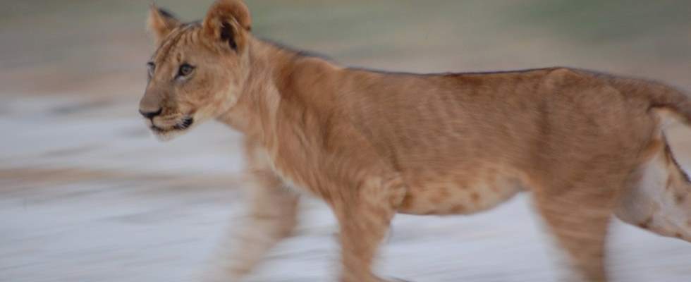
More than your average Tanzania safari ....
At Authentic Tanzania Safaris we know that spotting wildlife in the African bush is just part of your Tanzania safari. We also offer breaks on the beautiful beaches and islands of the East African coast:
Follow Authentic Tanzania Safaris on:

Authentic Tanzania Safaris: Guest Stories
Authentic Tanzania Bush Telegraph
Click here to see what Sven and the Authentic Tanzania Safaris Team have been up to on the latest Tanzania Safaris.
Camping Safaris with Authentic Tanzania Safaris
We are very proud of the experience our camping safaris give to our Tanzania Safari Guests
Click here to learn more about private Ruaha Camping Safaris
Click here to learn more about private Selous Camping Safaris

TANZANIA

- Tanzania Safaris - Baobab
In Tanzania the sweeping plains of east Africa, with their fertile soils and flat-topped acacias, meet the nutrient-leached miombo woodlands more typical of south-central Africa. This vast country is home to diverse wildlife, including some 430 species and subspecies of mammal, 1066 of bird and 1380 of butterfly, making the Tanzania Safari a popular choice for game, bird and insect enthusiasts.
Most of Tanzania is high plateau (900-1800m) fringed by the two bowed arms of the great Rift Fault. The course of the Western Arc is marked by the deep, isolated freshwater Lakes Tanganyika and Malawi, where hundreds of species of unique cichlid fish have evolved. Tanzania Safaris are unrivalled in this day and age.
Tanzania has two rainy seasons: the short monsoon from October to December, and the long rains from March and May. Between June and October is the cool and dry season.
Tanzania's Northern safari circuit is more famous and therefore more crowded.In contrast, Tanzania's Southern safari circuit is ideal for more wilderness-orientated travellers and those that are more interested in wildlife than seeing tourists. The true Tanzania Safari experience. In southern Tanzania, Authentic Tanzania Safaris continue to pioneer camping safaris and walking safaris.
Tanzania's coastal islands of Pemba, Zanzibar and Mafia have both history and indiginous wildlife, and are also revered by scubadivers and snorkellers.
Click on the Parks & Reserves menu on the left to find out more about Tanzania's great parks and reserves and your gateway to your bespoke Tanzania Safari.
Contact us at Authentic Tanzania Safaris with your bespoke Tanzania safari requirements
Lynne Barnes and Michael Speller, UK: Selous, Lake Manze
The advice given before the Tanzania safari with you was very good and we were very glad that we...